


Our Approach to Delivering Advantage
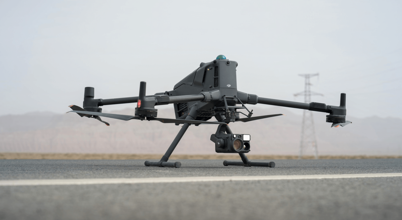
At DroneHive we offer Intelligence-as-a-Service, providing precise drone services such as inspections and mission-specific drone solutions that give our customers the clarity and confidence to act.
Solutions we offer
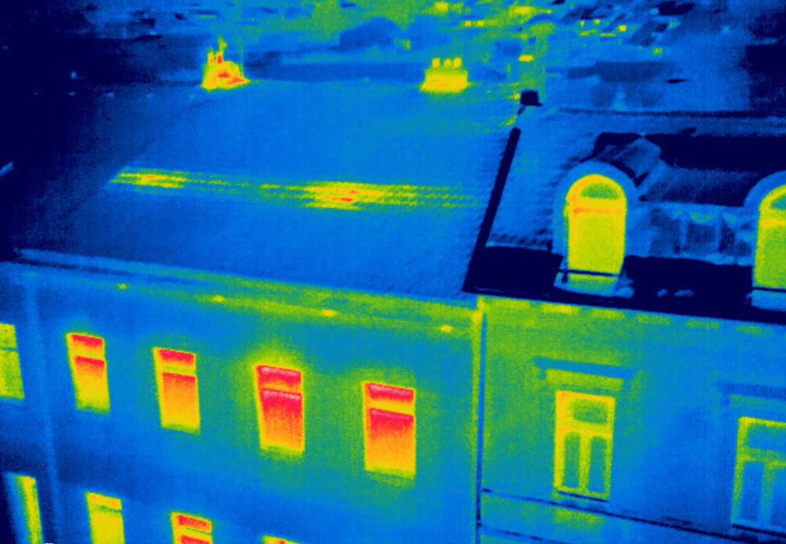
Drone Operated Inspection Services
Precision, data-rich inspection capabilities engineered to reveal faults early, strengthen asset reliability, and streamline operational decision-making.
-
Wind turbine blade assessments
-
Roof inspections (post-storm, leak detection, structural checks)
-
Power line and utility corridor surveys
-
Pipeline and industrial infrastructure monitoring
Mapping, Surveying, Photography and Videography
High-accuracy geospatial intelligence that transforms complex sites into clear, measurable, and actionable digital environments.
-
Orthomosaics and site progression models
-
Topographic and volumetric analysis
-
Construction progress documentation
-
Precision modelling for planning and compliance
-
GIS-integrated data outputs
Immediate Solutions to Immediate Problems
Fast-acting aerial assessment capabilities designed to deliver clarity, safety, and evidence-grade insight when minutes matter.
-
Post-storm roof and property inspections
-
Flood, fire, and structural damage surveys
-
Search support and situational awareness
-
Insurance documentation and validation
-
Immediate-deployment imaging and reporting
-
Hazard zone aerial overwatch

helping your project excel
Partner with DroneHive
At Drone Hive, we combine advanced aerial systems with operational expertise to give our clients a practical edge. Our focus is simple: deliver accurate data, clear insight, and dependable results—every time. We operate with the precision of an engineering team and the responsiveness of a dedicated service partner, ensuring each mission is executed safely, efficiently, and with measurable value to your operations.

Drone Technology right at your doorstep
Our Location
Based in Weymouth, we support commercial and residential clients across the South West, including Cornwall, Devon, Dorset, Somerset, Wiltshire, Bristol, Hampshire, Berkshire, and Surrey. From rapid roof inspections after severe weather to solar farm surveys and agricultural analysis, our CAA-certified team delivers high-quality drone data services where it’s needed most.
For custom drone builds, specialised payload integrations, and tailored engineering solutions, we support clients throughout the UK and internationally.
Email us with any questions today:
info@dronehivelabs.com
Read about the latest news with DroneHive News
latest news & insights
Stay up to date with the latest from DroneHive. Explore our News section for in-house articles on drone technology trends, project highlights across Southwest England, regulatory updates, and expert insights into aerial inspections and mapping.