Summary
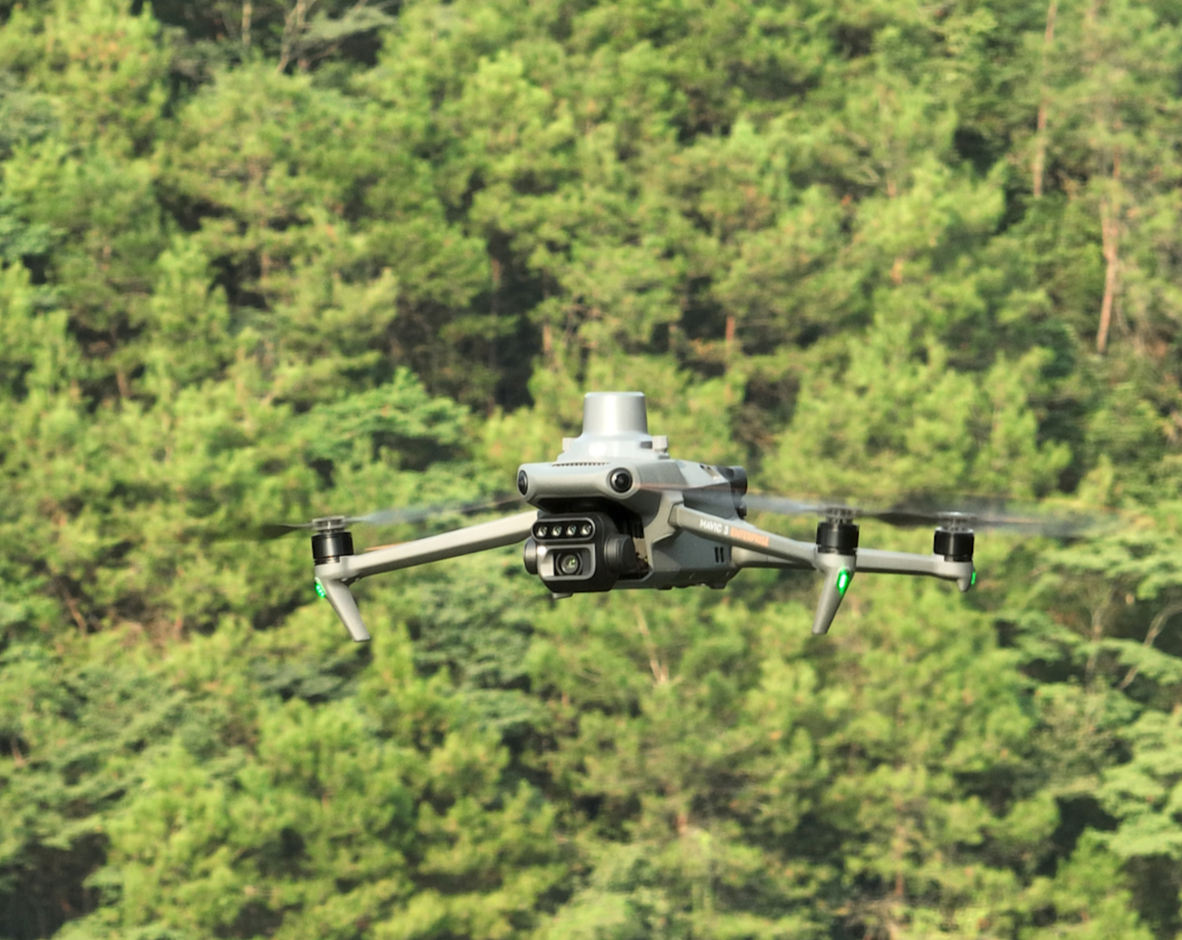
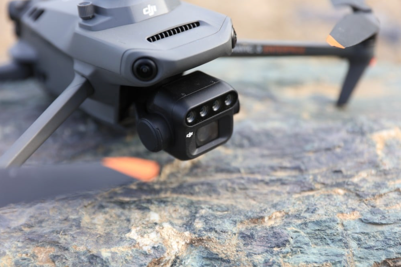
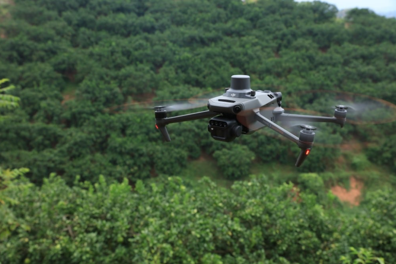
The DJI Mavic 3M Multispectral combines a 20 MP RGB camera with four 5 MP single‑band multispectral sensors (green, red, red‑edge, near‑infrared) in a compact, foldable airframe. It offers up to 43 minutes of flight time, O3 Enterprise transmission to 15 km, and omnidirectional obstacle sensing—making it perfect for precision agriculture, land surveying and environmental monitoring
Flight Time
Under DJI’s O3 Enterprise system, the Mavic 3M maintains a 1080 p live feed up to 15 km (FCC) and 10 km (CE) line‑of‑sight. A single intelligent flight battery delivers up to 43 minutes of cruise‑mode flight time.
Environmental Rating
While the Mavic 3M is not IP‑rated for water resistance, its compact chassis can handle light dew and moderate dust when operated responsibly. It functions in temperatures from –10 °C to 40 °C and altitudes up to 6 000 m MSL
The Mavic 3 Multispectral (3M) integrates a high‑resolution 4/3″ CMOS 20 MP RGB camera alongside four 5 MP multispectral sensors (G/R/RE/NIR), each tuned to specific wavelengths for crop-health analysis: Green (560 ± 16 nm), Red (650 ± 16 nm), Red‑Edge (730 ± 16 nm) and Near‑Infrared (860 ± 26 nm). Folded dimensions are 221 × 96 × 90 mm, and it weighs approximately 895 g.


