DJI Matrice 400 Review: Enterprise-Grade Drone Takes Flight
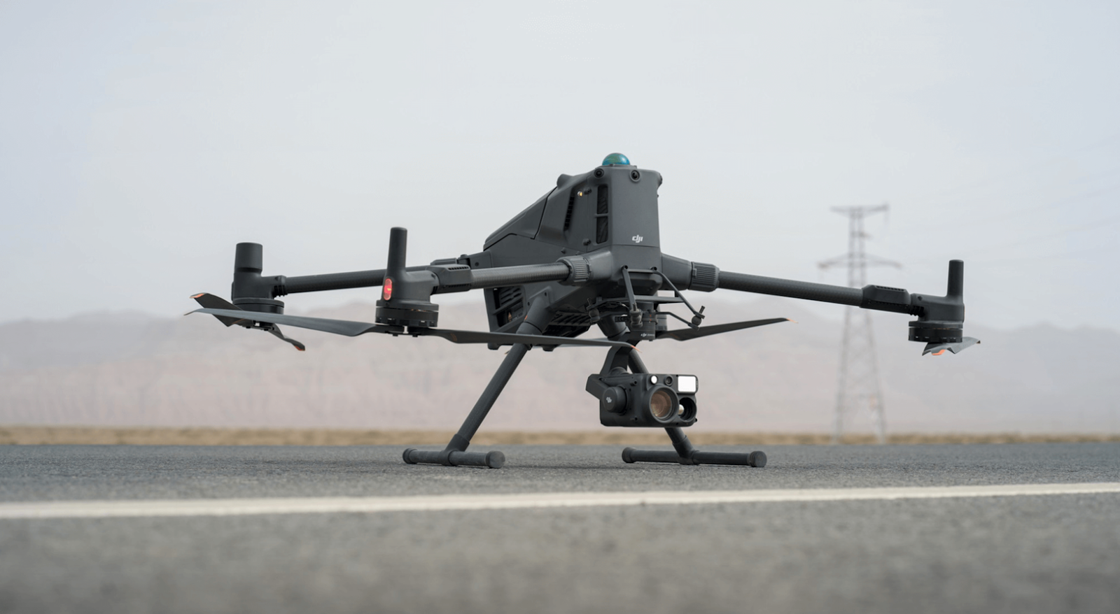
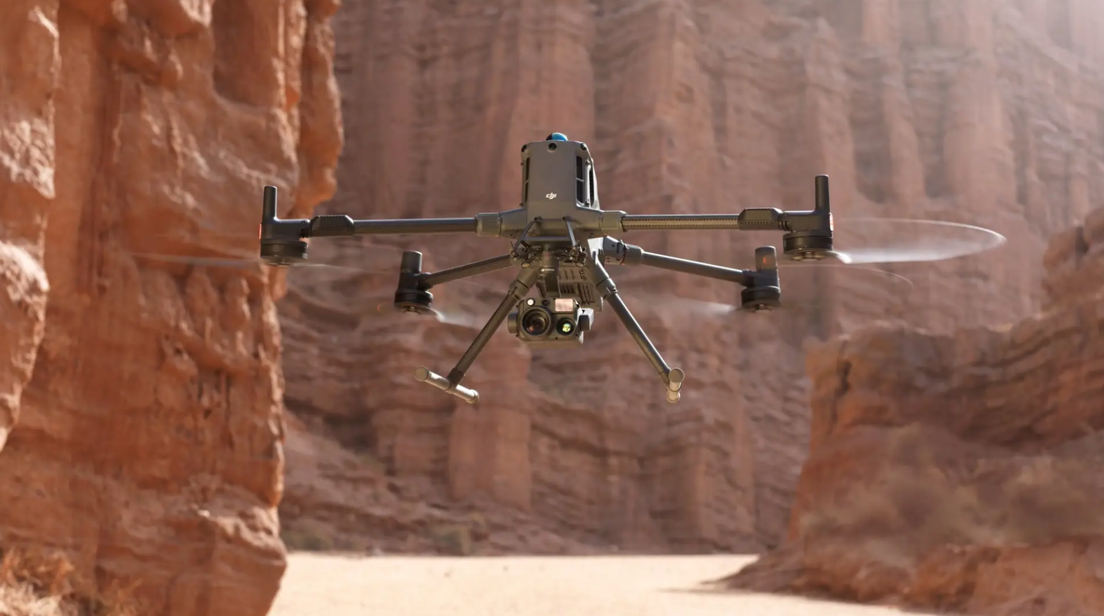
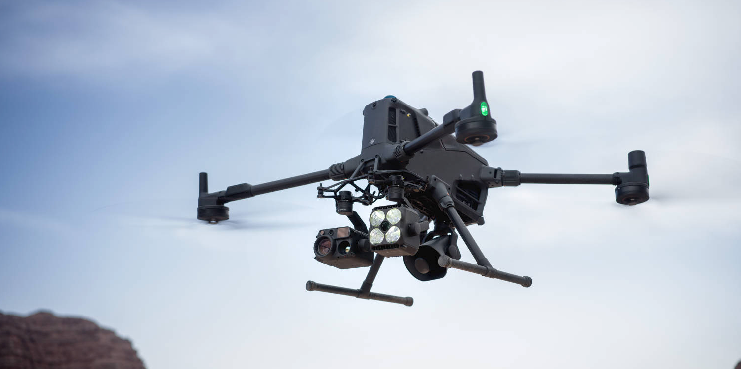
DroneHive proudly showcases DJI’s newest powerhouse: the Matrice 400 (M400) enterprise drone. Designed for demanding commercial operations, this heavy-lift quadcopter blends cutting-edge technology with rugged reliability. It packs a 59-minute endurance (under ideal conditions) and a 6 kg max payload capacity, with support for up to seven simultaneous sensors. This means DroneHive can tackle complex missions in construction, energy, infrastructure, and surveying – from precise site mapping to aerial inspection of power grids and wind turbines. By adding the Matrice 400 to our fleet, DroneHive continues to lead in commercial drone services, offering clients advanced aerial inspection, mapping, and data collection solutions that were once impossible.
Construction & Surveying
With RTK-capable GNSS and the Zenmuse P1 photogrammetry camera, the M400 delivers centimeter-accurate 3D models and orthomosaics. DroneHive uses this for site planning, earthworks monitoring, and “drone mapping solutions” that speed up project design and progress tracking.
Infrastructure & Utilities
For power grid and pipeline operators, the M400’s power-line-level obstacle sensing is a game-changer. Its rotating LiDAR and mmWave radar can detect thin wires and cables from a distance, enabling safer transmission-line surveys at high speed. It’s also ideal for inspecting bridges, cell towers, and pipelines in rugged terrain, thanks to its long range and all-weather design.
Across all these use cases, DroneHive’s drone service experts leverage the Matrice 400 to provide turnkey solutions: from pre-flight planning with RTK survey control to post-flight data analysis. The result is faster turnaround and richer insights for our clients, whether we’re mapping a construction site one week or performing an infrastructure inspection the next.


Extended Flight Performance
Beyond payload capacity, the Matrice 400 delivers exceptional flight performance. With its dual TB100 batteries, it can stay aloft for up to 59 minutes when carrying a standard payload. In real-world missions (with moderate additional weight), pilots can expect around 50+ minutes, which greatly exceeds many other enterprise drones. The M400 is also fast and agile: it reaches a top horizontal speed of 25 m/s (about 90 km/h) and can ascend at 10 m/s (36 km/h)
These specs mean DroneHive operators can cover vast areas in one flight. The high top speed lets the M400 inspect long stretches of pipeline, railways, or roadways quickly, while the RTK-capable GPS module (with GNSS fix to ~1 cm accuracy) ensures precision mapping and orthomosaic imagery. This is ideal for geospatial surveys and construction projects where accuracy is paramount.


