

Passionate – Dedicated – Professional
Why Smart Farming Needs Drones
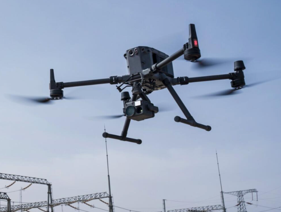
DroneHive brings precision drone agriculture services to farmers and land managers across Southwest England & Surrey. Our crop health monitoring and environmental mapping solutions use high-resolution aerial data to help you spot problems early, optimize inputs, and steward your land more sustainably—saving time and boosting yields.
Traditional field scouting can miss up to 30% of early-stage crop stress, leading to wasted seed, fertilizer, and time. With drone-based NDVI and topographic mapping, you gain field-wide insights in a single flight—and make data-backed decisions that drive up to 15% yield gains and cut input costs by 20% .


providing services tailored to your project needs
01.
Faster Data Analysis
02.
Carried out with no risks
03.
Saving you money
04.
High quality deliverables
Crop Health Monitoring
We fly the DJI Mavic 3M’s multispectral sensor over your fields in a precise grid, capturing green, red, red-edge, and near-infrared bands in one mission. After processing, you get:
-
NDVI & NDRE Maps: Pinpoint nutrient deficiencies, water stress, and early disease signs long before visual symptoms appear.
-
Zonal Health Reports: Prescription zones that guide variable-rate fertilizer or irrigation, reducing waste and boosting uniformity.
-
Trend Analysis: Compare flights over time to measure treatment effectiveness and forecast yield potential.
Land and Habitat Mapping
Beyond crops, our drone surveys create detailed orthomosaic maps and digital elevation models for:
-
Soil Erosion & Drainage Analysis: Identify runoff paths and erosion hotspots to inform earthworks and drainage improvements.
-
Hedgerow & Habitat Surveys: Measure tree canopy density and habitat corridors to support stewardship schemes and biodiversity grants.
-
Boundary & Infrastructure Mapping: Accurate field boundaries, access roads, and water-course overlays for farm planning and compliance.


In-depth results to support your investment
Some of the deliverables we offer with every inspection
Actionable Insights Fast
Complete a multi-hectare NDVI survey in under 30 minutes—no walking fields mile by mile.
Cost-Effective ROI
Early problem detection and variable-rate prescriptions can pay for the service within one growing season.
Expertise & Compliance
CAA-certified pilots and agronomy-trained analysts ensure data accuracy and regulatory adherence.
HiveLink Portal
Secure, web-based dashboard for seamless data access, team collaboration, and historical comparisons.
