Drone Service - Construction Site Survey and Site Progress Monitoring

Passionate – Dedicated – Professional

From the ground to the sky

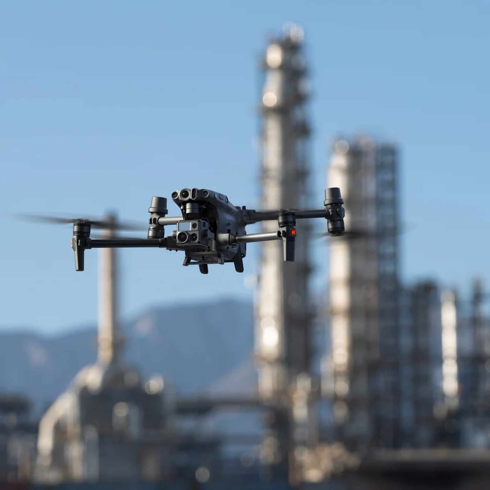
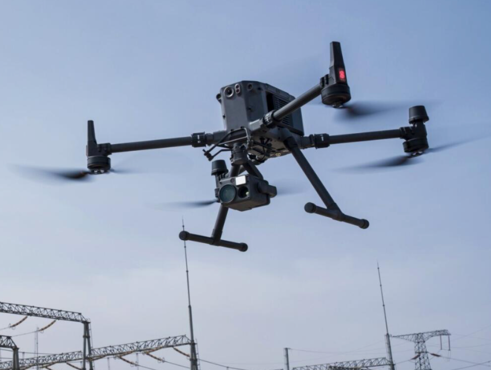
DroneHive brings enterprise‑grade drone services to construction and industrial projects—offering site surveys, volumetric analyses, infrastructure inspections, and roof checks. Our CAA‑certified pilots use advanced platforms (DJI Matrice 30T, LiDAR pods, RTK‑GPS) to deliver accurate, actionable data that keeps stakeholders informed, improves safety, and optimizes resource management.

Drone‑based site surveys capture high‑resolution aerial imagery and sensor data to monitor progress, measure stockpiles, and inspect critical assets—from foundations to powerline towers . Compared to manual methods, drones complete large‑scale surveys in a fraction of the time, reduce on‑site risk, and feed precise data into planning and reporting workflows .

M30T Inspecting Powerlines
Matrice M30T Surveying an industrial plant
Matrice 350RTK performing a power line inspection using an Advanced Thermal Camera

providing services tailored to your project needs

01.

Faster Data Analysis

02.

Carried out with no risks

03.

Saving you money

04.

High quality deliverables

Construction Site Surveys & Progress Monitoring

Regular orthomosaic mapping and volumetric analysis track earthworks, material stockpiles, and structural progress, enabling data‑driven decision making

Infrastructure & Utilities Inspections

Thermal and optical inspections of bridges, pipelines, substations, and powerplants detect corrosion, hotspots, and mechanical faults without shutdowns

Roof & House Inspections

Thermal imaging and high‑res photography diagnose leaks, insulation failures, and structural damage on residential and commercial roofs—without ladders

IronRed Photo of Powerline inspection Weymouth

Passionate – Dedicated – Professional

Why Drone Surveys Are For You

Stakeholder Transparency

Interactive progress maps let project managers and clients visualize timelines and milestones in HiveLink, boosting trust and communication.

Accurate Earthworks Measurement

Volumetric reports calculate cut‑and‑fill volumes with sub‑5% error margins, ensuring precise billing and inventory reconciliation.

Risk Reduction

Early detection of structural anomalies and terrain hazards prevents costly delays and enhances on‑site safety.

Cost Savings

Automated drone surveys cut field labor by up to 60%, minimizing downtime and accelerating project delivery.

Your Mission – Our Swarm

Reach new heights with strategic drone missions

Our Drone Services provide your mission with all the insights you need to analyze data and make accurate data-driven decisions

Survey of a large building

High‑Resolution Orthomosaics & 3D Models

Seamless aerial maps and Digital Surface Models (DSMs) accessible in HiveLink for viewing and measurement.

Map Your Site From Every Angle

Site Survey Volumetric Analysis Drone

Volumetric Analysis Reports

Clear cut/fill calculations, stockpile volumes, and historical comparisons with exportable CSVs and charts.

Maximize Return from your Solar Investment

LiDAR Data of Aerial Survey of Bridge Infrastructure

Thermal & Defect Overlays

Heat‑map layers highlighting hotspots on equipment, structural faults, and insulation issues.

See your house from a New Perspective

Drone Surveying Point Cloud Technology

LiDAR Point‑Cloud Data

Dense 3D point clouds for integration into CAD, BIM, or GIS platforms.

Stand Out From The Competition

Setting up a flight plan around skyscraper in Flight Hub 2

Annotated Inspection Photographs

Geotagged imagery with defect tagging for maintenance logs and compliance records.

Cutting Edge Radiometric Technology

Engineer writing a technical report

Comprehensive PDF Reports

Executive summaries, detailed findings, and actionable recommendations in print‑ready format.

Minimize Crop Losses