Passionate – Dedicated – Professional
New perspective on your project
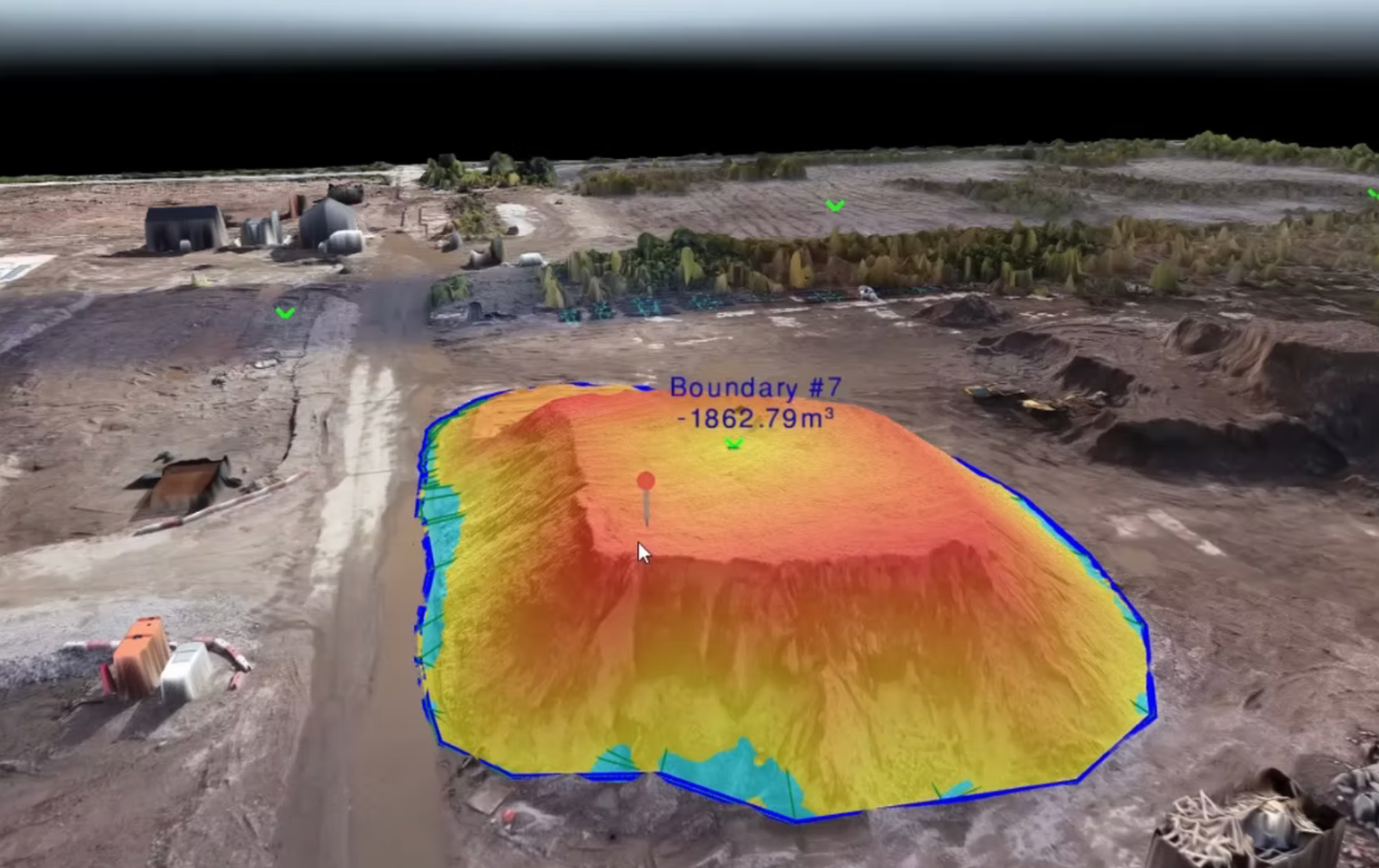
DroneHive’s drone construction site survey replaces slow, manual walks with fast, automated flights—giving you survey-grade data in minutes, not days. Our DJI Matrice 30T with RTK GPS captures high-resolution aerial maps, 3D models, and volumetric insights so you can keep work on schedule and under budget.
The benefits you will get with DroneHive
Faster Decisions
See site changes in near-real time—no more waiting for ground crews
Accurate Volumes
Automated cut-and-fill and stockpile reports at centimetre precision
Cost Savings
Reduce labour and rework—92% of firms achieve ROI in under a year
Safety First
Drones handle risky areas (heights, rough terrain), keeping crews on the ground
In-depth results to support your investment
Some of the deliverables we offer with every inspection
Survey-Grade Accuracy
RTK-enabled flights ensure centimetre-level precision
Rapid Turnaround
Deliverables in 72 hours, not weeks
Proven ROI
Faster workflows that cut costs and boost profitability
All-Industry Expertise
Whether residential, civil, commercial, or infrastructure, we’ve got you covered


