
Passionate – Dedicated – Professional
From the ground to the sky
Drone Hive empowers renewable‑energy operators with precision drone services for solar panel inspections, solar farm surveys, and wind turbine inspections—all designed to detect faults early, optimize maintenance, and maximize energy yield.
Even minor defects can cut system performance by 5–10% annually, translating to thousands in lost revenue for a 5 MW array. Manual walk‑throughs miss up to 25% of hotspots and micro‑cracks, while drone thermography achieves 99% fault‑detection accuracy in under two hours


providing services tailored to your project needs
01.
Faster Data Analysis
02.
Carried out with no risks
03.
Saving you money
04.
High quality deliverables
Solar Panel Inspections
We scan individual rooftop and ground‑mounted panels with thermal and visual imaging to uncover micro‑cracks, junction‑box faults, and soiling—issues that reduce efficiency and accelerate degradation.
Our detailed defect logs and heat‑maps enable targeted repairs, recouping up to 10% of lost output and extending panel lifespan.
Solar Farm Surveys
For utility‑scale arrays, our drone surveys combine orthomosaic mapping with radiometric thermography to cover thousands of modules in a single flight.
We integrate AI‑assisted analytics to flag panel‑level anomalies, deliver geo-referenced thermal mosaics, and provide actionable maintenance recommendations that can reduce O&M costs by 30% annually.
Wind Turbine Inspections
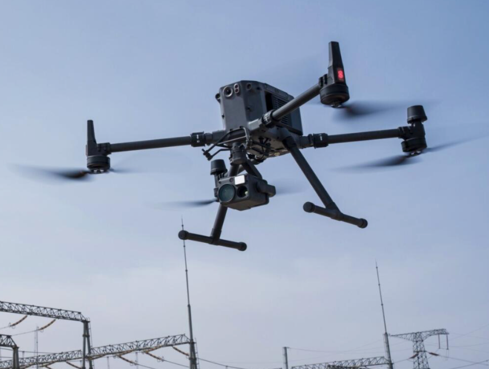
Our wind‑turbine drone inspections capture blade, hub, and tower defects—such as erosion, cracks, and lightning strike damage—without requiring turbine shutdowns.
Drones reduce inspection time by 70% compared to rope‑access methods, keep technicians safely on the ground, and provide high‑precision 3D models for structural analysis

Passionate – Dedicated – Professional
driving success to your everyday business
Industry‑Leading Accuracy
99% fault‑detection with radiometric thermal imaging and AI validation
Cost‑Effective O&M
Clients report up to 30% savings on maintenance budgets through targeted aerial inspections
Regulatory Compliance
Our reports meet IEC TS 62446‑3 standards, supporting warranty claims and investor due diligence
Secure HiveLink Portal
Track mission status, review interactive maps, and download reports anytime—no email chains
In-depth results to support your investment
Some of the deliverables we offer with every inspection
Thermal & Optical Orthomosaics
True‑scale, georeferenced maps with hotspot overlays
Defect Fault Inventory
Detailed logs with GPS and fault severity
Efficiency Trend Reports
Charts tracking module performance over time
Comprehensive PDF Report
Executive summary, findings, and prioritized repair recommendations—downloadable from HiveLink
Your Mission – Simplified
How We Get You the Insights That Matter
We combine enterprise drone technology, thermal imaging, and precision mapping to deliver clear, actionable data.
