Summary
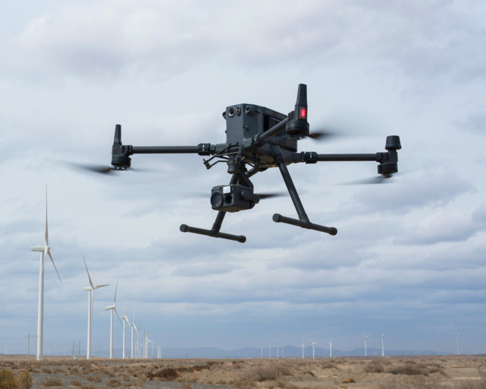
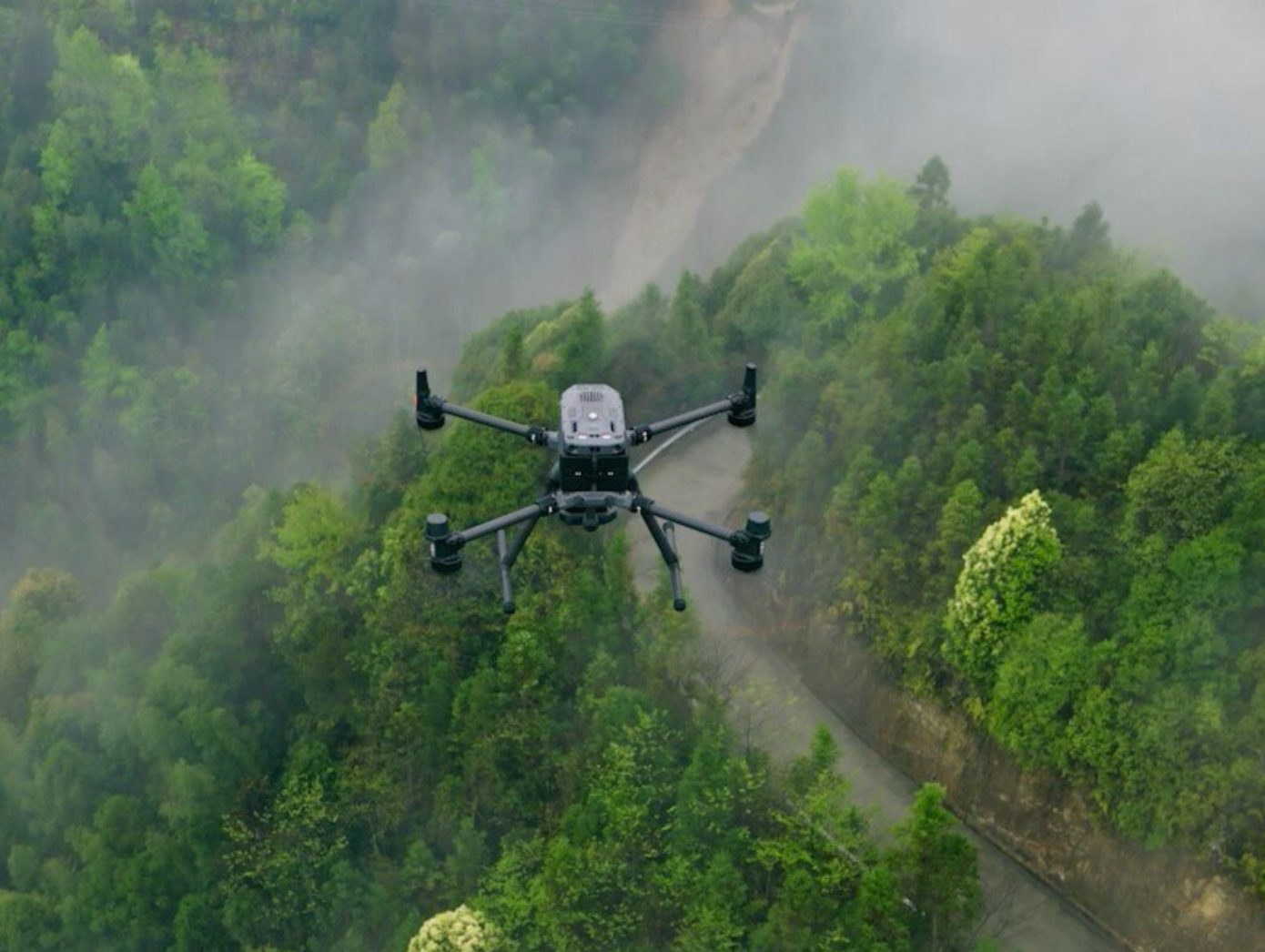
The DJI Matrice 350 RTK (M350 RTK) is a next‑generation industrial drone delivering up to 55 minutes of flight time, IP55 dust‑ and water‑jet protection, and a 20 km O3 Enterprise transmission link for reliable beyond‑visual‑line‑of‑sight (BVLOS) operations. It supports multiple enterprise‑grade payloads—including the Zenmuse H20 series and LiDAR sensors—while offering six‑directional obstacle sensing and hot‑swappable dual TB65 batteries, making it an ideal platform for surveying, inspection, mapping and public safety missions.
Flight Time
Each pair of TB65 batteries yields a maximum of 55 minutes of flight at 8 m/s without payload; swapping in fresh batteries via an external charging station supports continuous missions and up to 400 charge cycles per battery for long‑term cost efficiency.
Environmental Rating
The M350 RTK attains an IP55 ingress protection level, blocking dust ingress and withstanding low‑pressure water jets from any direction—perfect for operations in rain, dust and smoke. Its operating temperature spans –20 °C to 50 °C, with wind resistance up to 12 m/s and service ceiling up to 7 000 m when fitted with high‑altitude propellers.
UThe M350 RTK borrows the proven airframe design of its predecessor but enhances performance with the new TB65 dual‑battery system, letting it hover for up to 55 minutes without payloads under test conditions. At 3.6 kg empty weight (airframe without batteries), it can carry up to 2.7 kg of certified payloads—compatible with DJI’s Zenmuse H30, H30T, H20, H20T, H20N, LiDAR L1, RGB P1 and other SDK‑based modules. Folded dimensions are 413 × 422 × 251 mm, ensuring easy transport


